LAUV
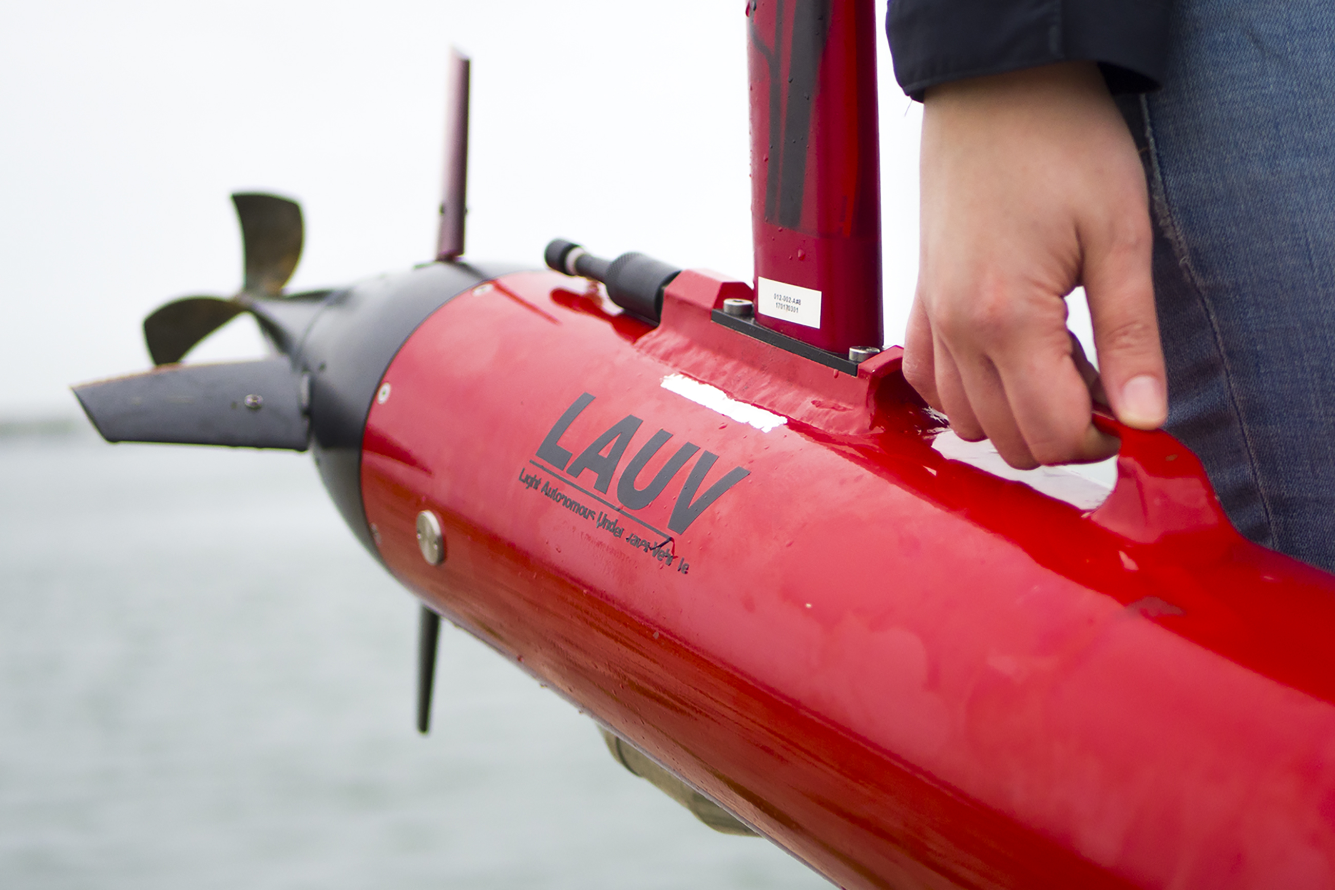
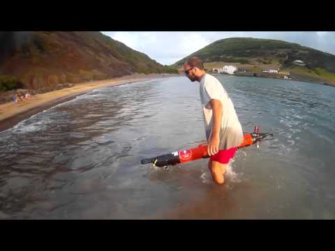
The LAUV is an affordable, highly operational and effective surveying tool. It is a lightweight, one-man-portable and operated vehicle that can be easily launched, operated and recovered with a minimal operational setup. Thus, the operation of the LAUV does not require extensive operator’s training. The minimalist functional system includes communications, computational system and basic navigation sensors, and the LAUV capabilities are built up by adding optional payload modules.
Fleet:10
LAUV is marketed by OceanScan – Marine Systems & Technology, a LSTS spin-off founded in 2008.
| Length | Starting at 110 cm (depending on configuration) |
| Diameter | 15 cm |
| Weight | Starting at 18 kg |
| Endurance | Up to 8 hours @ 3 knots |
| Wi-Fi | 2.4 GHz and/or 5 GHz |
| GSM/HSDPA | Quad-band 3G module |
| Maximum Depth | 100 meters |
| Inertial Navigation System* | Maximum Gyro Bias: 1 degree per hour |
| CTD* | Up to 6Hz sampling rate |
| Echo Sounder* | Frequency: 675 kHz (Mounting pointing forward) |
| Camera* | Resolution: 720p in H.264 and near 1080p in JPEG |
| Multibeam Sonar* | Frequency: 260 kHz. Range: 100 meters |
| Side Scan Sonar* | Edgetech, Klein, or Imagenex |
| Satellite* | Iridium SBD |
| Environmental Sensors* |
Crude and Refined Oils, Rhodamine, Chlorophyll |
*Available specifications and features will depend on the chosen configuration.
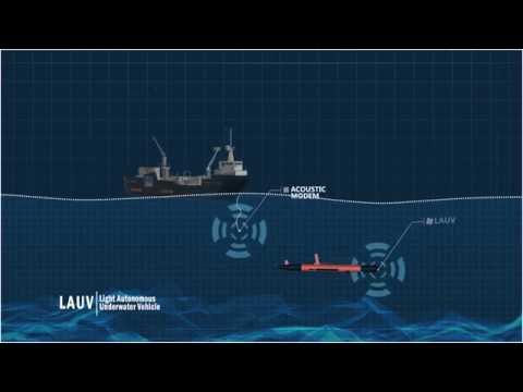
Capable of performing underwater surveillance, be used for mine countermeasures, anti submarine warfare or port security using sensors like cameras, echo sounders and scanning sonars.
By using sonars and cameras, the LAUV can also be used to find shipwrecks, containers and drowned people.
It is capable of gathering biological data, such as salinity, temperature, turbidity or dissolved oxygen from an area and creates 2D and 3D maps.
Capable of mapping areas with sonar to find any sort of targets, such as shipwrecks, archaeological sites or any other submerged structure.


