
REP(MUS)21 - Ripples
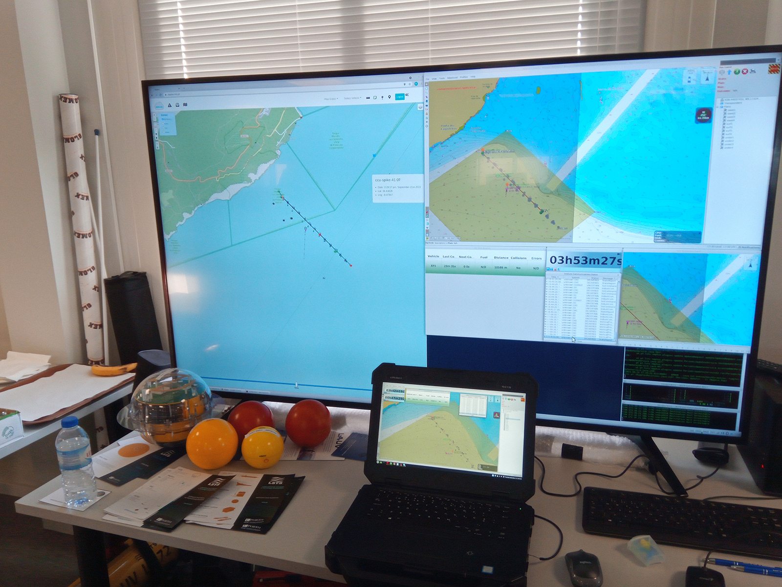
Ripples was built upon LSTS Toolchain providing a web based C2, satellite communication interface, multi-vehicle planning, and a web frontend for those vehicles. With this web infrastructure, it is possible to improve the awareness of operators and scientists while controlling multiple autonomous assets deployed in the open sea. This tool provides also services for the rest of the LSTS Toolchain, allowing each operating team to connect and have a situation awareness.
It is possible to visualize the current location of these assets and the predictions of their location in the future, according to reported plans. Ships' current location and future prediction of their location are also mapped in Ripples as well as external data for weather forecasting services, bathymetry, and tiled maps, among other layers.
In the REP(MUS)21 Ripples was used to monitor all the autonomous vehicles while they executed plans to accomplish their missions. Using the real-time ship traffic and metocean forecast, the plans of the vehicles can be adjusted accordingly. Also we connected with UK Maple C2, by sending and receiving assets information, displaying their information on Ripples.
Ripples is continuously under development to become the Multisystem Command and Control (C2) and besides visual enhancement to improve situational awareness we also want to achieve more interoperability with other organizations. With the integration of data collected from other sensors or vehicles we can improve the decision making and it's also important that all information collected is protected to be only accessed by the right people (so authorization layer was implemented to filter information).